BRATTLEBORO — Plows are hitting the roads as the next winter storm comes our way.
“I think there’s some concern going into this storm,” Darren Pacheco, highway and maintenance superintendent at the Brattleboro Department of Public Works, said in an interview at about 10 a.m. Sunday, but not to the level where the town would be changing its modes of operation. “We definitely have our crews ready.”
Pacheco said the town could be getting 8 to 12 inches of snow under the current forecast. But if the storm shift more north, he warned, the total could be “well over 12.”
Pacheco said the heaviest snowfall is anticipated to come at about 10 p.m. Sunday and end around 10 a.m. Monday. Some “lingering” snow is expected until about 5 p.m. Monday.
Dan Pydynowski, senior meteorologist at accuWeather, estimates the average snowfall for the area will be 4 to 6 inches.
“Then it will be turning windy later tonight into tomorrow as well,” he said in an interview at about 11 a.m. Sunday, “so the snow will be blowing around even into tomorrow night with gusty winds even after the snow is done falling.”

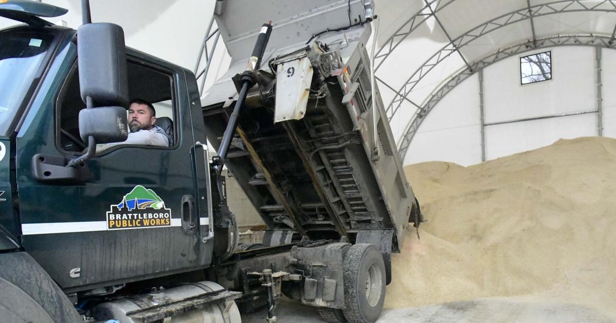
Brattleboro continues to experience the effects of a regional road salt shortage. Pacheco said the town was able to get a few loads but the shortage is “still a big concern at public works,” as storms are also forecasted for the middle of the week.
“People should expect some road conditions to take longer to come back to normal conditions because of that shortage,” he said.
Wind also could be “a little factor for us,” Pacheco said.
“It really depends if the snow is heavy,” he said.
Forecasts call for winds to be as high as 25 to 30 miles per hour, Pacheco said, meaning the potential for downed trees. If anyone notices one, they are advised to call 911 and let dispatchers know, as the wires could still be live.
Pydynowski said the winds are going to be strong enough that downed trees or limbs are “certainly a possibility.”
“I think there could be some isolated power outages,” he said. “I’m not sure they’re going to be widespread.”
An announcement from the town lists possible impacts of the storm: “snow-covered roads, especially during the Monday morning commute; periods of reduced visibility during heavier snowfall; gusty winds that may lead to blowing snow and tree damage; the potential for scattered power outages.”
“Crews will prioritize treatment of major routes, intersections, and hills, but road conditions may take longer than usual to improve during periods of heavy snowfall,” the announcement states.
Pydynowski said the storm is expected to hit areas such as New York City and parts of Connecticut, Rhode Island and southeastern Massachusetts, the worst.
“That corridor is probably going to see the heaviest snow amounts and the strongest winds as the nor’easter comes up the coast,” he said.
‘ The preceding article may include information circulated by third parties ’
‘ Some details of this article were extracted from the following source www.reformer.com ’